Akron Metropolitan Area Transportation Study
Beginning September 21, 2023 and continuing through November 3, 2023, AMATS will be accepting applications for the STBG, TASA, Resurfacing, Carbon Reduction Plan (CRP), and…
It’s time for the AMATS Annual Meeting! Please note that registration for the 2023 Annual Meeting ends Friday, Sept. 29. This year’s meeting is scheduled to begin at…
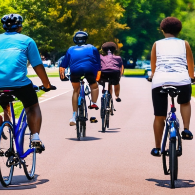
The cities of Barberton and Cuyahoga Falls are reaching for a gold, silver, or bronze Bicycle Friendly Community (BFC) designation through the League of American Bicyclists…
AMATS and several sponsors will mark the agency’s 11th anniversary of hosting Bike-N-Brainstorms with a Sept. 23 event in Akron’s Middlebury neighborhood. Bike-N-…
AMATS is seeking Letters of Interest from qualified firms to develop a regional traffic signal inventory. The contract includes collecting and inventorying an estimated 1,000…