Akron Metropolitan Area Transportation Study
Michelle May, the Ohio Department of Transportation (ODOT) Highway Safety Program manager, was one of the featured speakers during the 2023 AMATS Annual Meeting.…
The Ohio Department of Transportation (ODOT) is pleased to announce its Ohio Moves initiative! Please visit Ohio Moves Transportation Study for more information. …
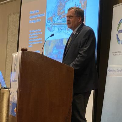
Dan Rice, the president and chief executive officer of the Ohio & Erie Canalway Coalition (OECC) was one of the featured speakers during the 2023 Annual…
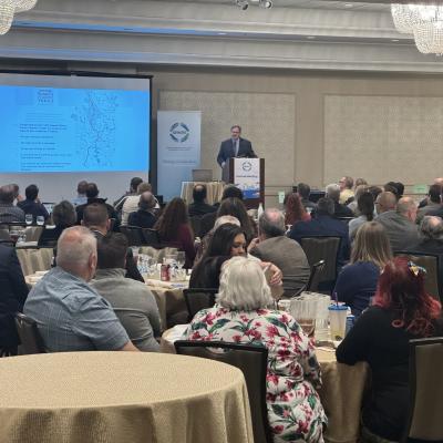
AMATS Director Curtis Baker recapped a year of solid accomplishments by the Greater Akron area’s metropolitan planning organization during the agency’s 2023 Annual…
Funding policy changes approved by AMATS may lead to more funding opportunities for Greater Akron area communities and other project sponsors in the years to come.During its…