Akron Metropolitan Area Transportation Study
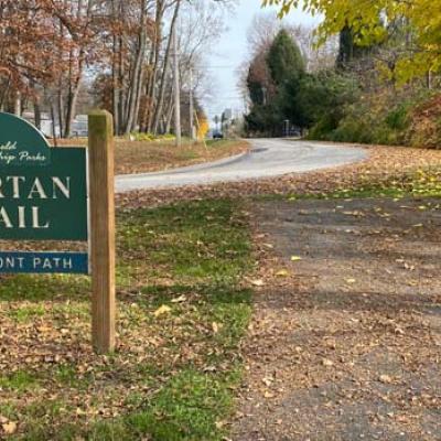
People in the Village of Lakemore and Springfield Township may soon find it easier to walk from place to place in their communities. The AMATS Connecting Communities…
The latest three-year analysis released by AMATS shows that the overall number of crashes in the Greater Akron area surged by about 6 percent or 1,022 crashes, from 14,965…
The AMATS Safe Streets for All (SS4A) Taskforce is seeking public input as it prepares an action plan for the Greater Akron area. The plan will identify common causes…
The July-December 2022 issue of @AMATS, our agency newsletter, is now available. This issue includes features about October’s AMATS Annual Meeting, the agency’s Vision Zero…
The Akron Metropolitan Area Transportation Study developed the Connecting Communities Initiative to encourage the integration of land use and transportation. The purpose of…