Akron Metropolitan Area Transportation Study
The AMATS Policy Committee committed the Greater Akron area to the national Vision Zero initiative during its Aug. 11 meeting. If the goals of Vision Zero become a…
We are pleased to present the January-June 2022 issue of @AMATS, our agency newsletter. This latest issue covers the new 2021 Annual Report on Roadway Traffic…
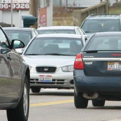
A new, first-of-its kind report compiled by AMATS shows that things aren’t that bad even when they’re at their worst in terms of traffic congestion on Greater Akron area…
The latest three-year analysis released by AMATS shows that fatal motor vehicle crashes surged in the Greater Akron area during 2020 when compared to 2018.The new report is…
2021 was a year in which AMATS, the Greater Akron area, and the nation as a whole took a few small steps back to normality from the depths of the COVID-19 Pandemic. You…