Akron Metropolitan Area Transportation Study
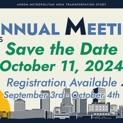
AMATS Annual Meeting takes place this year at the Sheraton Suites in Cuyahoga Falls. Registration will open September 3 - stay tuned for more information!
AMATS Annual Meeting is taking place this year on October 11, 2024 at the Sheraton Suites in Cuyahoga Falls. Although registration will not be open until September 3, AMATS…
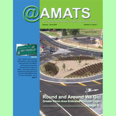
Roundabouts, active transportation, a Hudson Bike & Brainstorm, and grants to the cities of Akron and New Franklin are some of the topics covered in the January-June 2024…
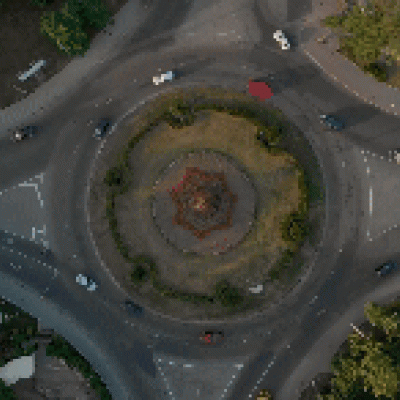
CIRCULAR LOGIC - Roundabouts, like the one shown above at East Summit Street and Johnston and Ted Boyd drives in Kent, are being embraced by more greater Akron area…
The new Active Transportation Plan (ATP) prepared by AMATS presents what has been accomplished in improving the Greater Akron area’s active transportation network and offers…