Akron Metropolitan Area Transportation Study
Our agency is pleased to launch AMATS Transportation Talk, a new podcast series that focuses on transportation happenings within the Greater Akron area. Transportation…
The 2019 AMATS Annual Meeting began on Friday, Oct. 11 with a call to order by Policy Committee Chairwoman and Richfield Mayor Bobbie Beshara. As she welcomed the…
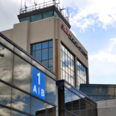
Renato Camacho, the president and CEO of the Akron-Canton Airport (CAK), was one of the featured speakers during the 2019 AMATS Annual Meeting on Oct. 11.Camacho…
Dr. Jack Marchbanks, the director of the Ohio Department of Transportation, was one of the featured speakers during the 2019 AMATS Annual Meeting on Oct. 11.…
The specter of more pedestrian crashesMATS wants to remind those travelling on Greater Akron area roadways that the month of October not only ushers in ghosts, goblins and…