Akron Metropolitan Area Transportation Study
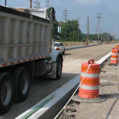
Thirty-seven highway, resurfacing, and bike and pedestrian projects throughout the Greater Akron area will receive nearly $40 million in federal funds following the first…
AMATS is updating its Public Participation Plan or “3P,” but we need one key element to update this plan successfully: You!As the Greater Akron area’s federally designated…
AMATS has identified another October scare for those living in the Greater Akron area: pedestrian-related crashes. The agency finds that these crashes spike during the…
Beginning September 27, 2021 and continuing through October 29, 2021, AMATS will be accepting applications for the STBG, TASA, and Resurfacing Programs. Although not due…
The July-December 2021 issue of @AMATS is available. This issue covers Transportation Outlook 2045, the new long-range regional transportation plan for the Greater Akron area…