Akron Metropolitan Area Transportation Study
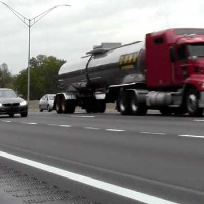
The COVID-19 lockdown definitely impacted traffic in the Greater Akron area. To find out how and its potential repercussions for the region, watch Traffic Gone…
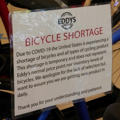
While the COVID-19 lockdown brought most business and recreational opportunities to a standstill in the Greater Akron area, there’s one group that saw heightened…
The January-June 2020 issue of @AMATS, our agency newsletter, is now available. Our latest issue features a message from AMATS Director Curtis Baker, an article regarding our…
A “FIRST-OF-ITS-KIND” TIPAlthough the offices of the AMATS have been closed since March due to the COVID-19 pandemic, the agency has been open for business. In fact, it just…
We want to remind everyone that, just because the AMATS office is closed due to COVID-19, our ears are still open. We will be accepting written and email comments about…